

MSI Infrastructure
Inspection
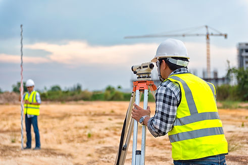
Multi Sensor Inspection provides you with the data to make decisions, so you can pinpoint and budget for critical repairs and replacement where and when they are needed.
3D & HDR
Image Surveying
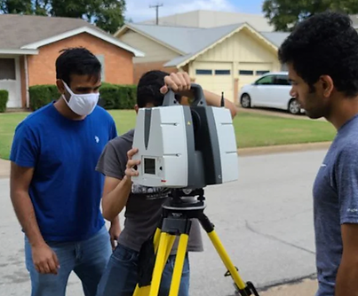
The Leica ScanStation equipment has the ability to capture a detailed as-built representation of a facade, a 2D floor plan, 3D data and High Dynamic Range (HDR) imaging for integration into Building Information Modelling (BIM), 3D geometry of roads, rails, tunnels and bridges or high-definition scan data for topographic maps and as-built surveys to meet the project's needs.

GIS Mapping & Service Life Prediction
Fiscally Responsible Asset Management
With information at your fingertips every 5 feet, all the inspection results and estimated service life are available at the click of your mouse.
A Service Life model can be developed using artifical intelligence based on historic data using machine learning algorithms.

City of Coppell
"Informative pipeline assessment including remaining service life was useful to make informed resource allocation decisions for efficient maintenance of our pipeline system."
Michael Garza, Assistant Director of Public Works,
City of Coppell
City of Waxahachie
"The analysis provided the city with invaluable information related to utility infrastructure life expectancy, enabling us to make more well informed decisions related to its pipeline maintenance and replacement program."
Tommy Ludwig, Assistant City Manager Waxahachie